


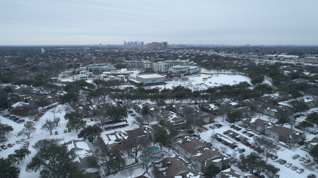
DALLAS – The National Weather Service has issued an Extreme Cold Warning for North and Central Texas, in effect from 9 p.m. Tuesday until 9 p.m. Thursday.
With wind chills expected to plummet as low as -8°F, residents should prepare for dangerously cold conditions that could lead to hypothermia, frostbite, or even life-threatening situations with prolonged exposure.
What to Expect
Tuesday: The Arctic Front Arrives
A powerful blast of arctic air will move into the Metroplex late Tuesday, sending temperatures plunging and bringing a potential mix of rain and freezing drizzle.
- During the Day: Expect rain through the afternoon, with temperatures holding in the 40s until the cold front arrives.
- Evening & Overnight: As temperatures drop rapidly, some freezing rain could develop in northwestern counties, with a chance of patchy freezing drizzle leading to icy spots on elevated surfaces.
- Wind Chill Factor: By late Tuesday night, the wind chill will make conditions feel even colder, setting the stage for a bitterly cold Wednesday.
Wednesday: Bitter Cold & Subzero Wind Chills
- Morning: Actual temperatures will be in the teens and 20s, but with strong northerly winds, wind chills could dip below zero. If you don’t have to be outside, stay indoors.
- Afternoon: Highs will struggle to reach the upper 20s to low 30s, with cloudy skies and a persistent north wind keeping conditions uncomfortable.
⚠️ Safety Reminder: If you must go outside, wear multiple layers, covering all exposed skin to prevent frostbite.
Thursday: Potential Record Lows
- The coldest morning yet is expected, with wind chills as low as -11°F.
- Although the Extreme Cold Warning officially ends at 9 a.m., temperatures will remain well below normal.
Preparedness & Response Efforts
Road Treatments & Transportation
- Crews have pre-treated roads across North Texas, focusing on bridges, overpasses, and high-traffic areas.
- Fort Worth has deployed sand trucks to address potential icy patches if rain freezes overnight.
- DART has activated its inclement weather plan, including sidewalk treatments and designated warming stations at key transit locations.
Community Support
- Dallas Fire-Rescue is stationing EMS personnel at warming shelters and coordinating transport for those in need.
- Dallas ISD and Richardson ISD will remain open unless road and building conditions become unsafe.
Statewide Impact & Power Grid Preparations
With freezing temperatures expected across much of Texas, state emergency coordinators are closely monitoring the situation.
At a joint press conference Monday, Gov. Greg Abbott and ERCOT CEO Pablo Vegas assured Texans that the power grid is prepared to meet demand, highlighting improvements since the 2021 winter storm:
- 4,000+ megawatts of backup fuel supply for generators.
- Stronger weatherization requirements to enhance grid resilience.
- Increased solar and battery storage capacity to supplement energy needs.
The Texas Emergency Operations Center in Austin will remain on high alert throughout the week to respond to any emerging weather threats.
How to Stay Safe
✔ Dress in layers, including a hat, face mask, and gloves.
✔ Keep pets indoors or provide warm, dry shelter with food and unfrozen water.
✔ Check on vulnerable neighbors, friends, and family.
✔ Use portable heaters safely—never operate generators or grills indoors due to carbon monoxide risks.
✔ Prepare an emergency kit in your car with blankets, coats, and supplies in case of stranding.
🚨 If you get stranded, call the Texas DPS hotline listed on the back of your driver’s license for assistance.
Warming centers are open across the region for those in need of shelter. Stay tuned for further updates as this severe cold snap unfolds.