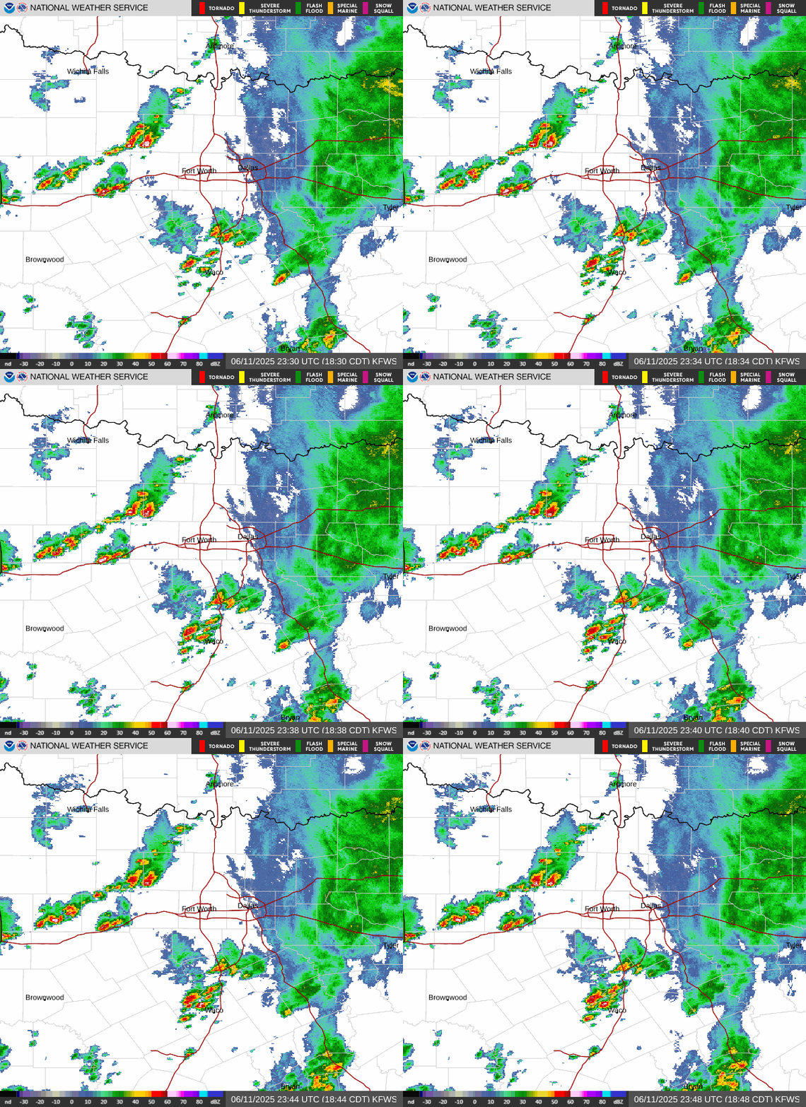
DFW (WBAP/KLIF) -A deepening storm system is likely to strike DFW Sunday night. The Enhanced Risk area covers everything from DFW to Oklahoma City and eastward to the Arkansas border. It’s unusual for the Storm Prediction Center to place an enhanced (#3 of 5 risk levels) bulls-eye over such a large area 48 hours in advance so “confidence is high” that the storm system will produce severe thunderstorms with large hail, damaging straight-line winds and a few tornadoes. The risk area may be further enhanced Saturday or Sunday.
October represents the secondary peak behind spring in North Texas. October 20th, 2019, an EF-3 tornado carved a swath of damage and destruction from northeast Irving across North Dallas to Richardson. Several other smaller tornadoes were detected as well. They were nearly impossible to spot because of the time of night. Fortunately, it was Sunday night and the Cowboys were playing, so most people were at home and off the roads.
You can read more about that outbreak here:
https://www.weather.gov/fwd/tornadoes-october2019
Now is the time to refresh your severe weather safety plans. There are many excellent sources that can help you prepare for severe weather. Most important: STAY IN TOUCH WITH THE WEATHER! Situational awareness is #1. WBAP will produce continuous forecast updates as the target area becomes more tightly focused this weekend. WBAP 820 AM broadcasts ALL Severe Thunderstorm, Tornado and Flash Flood warnings for North Texas as the Primary Emergency Alert Station in the area.


